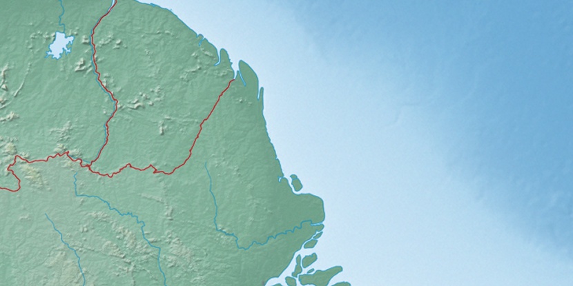
Chemin de l’Enfer, (waterfall(s)) is located in Brazil (America). It is placed in GMT-3 time zone with current time of 09:53 PM, Thursday. Offset from your time zone: minutes.
| Latitude | 

|
|
| decimal | 3.48261 | |
| DMS | 3° 28' 57.396" N | |
| Distances from | ||
| North pole | 9619.8 km | |
| Equator | 387.2 km | |
| South pole | 10394.3 km | |
| Longitude | 
|
|
| decimal | -52.08854 | |
| DMS | 52° 5' 18.744" W | |
| Distance from prime meridian: 5780.2 km to West |
||
List of nearest places sort by population
Macapá 399.4 km 163°
163° 165°162°
 185°
185° 150°
150° 181°154°167°194°174°

Marker is showing location of Chemin de l’Enfer on map(s). You can click on marker if you want to hide it.
 T: 0.01188 s.
2026 © Location.zone | Terms of use | Contact
 140°
140° 118°
118° 230°
230° 205°
205° 42°
42° 48°
48° 281°
281° 255°
255°