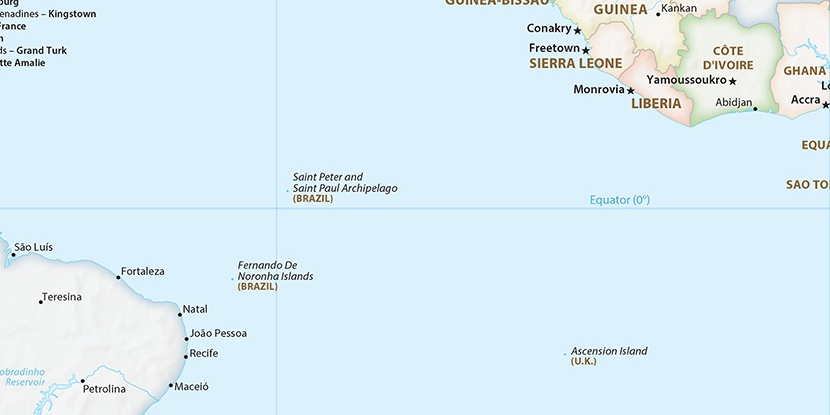
Fort Santo Antonio (historical), (fort) is located in Pernambuco, in Brazil (America). It is placed in GMT-2 time zone with current time of 07:38 AM, Thursday. Offset from your time zone: minutes.
| Latitude | 

|
|
| decimal | -3.83481 | |
| DMS | 3° 50' 5.316" S | |
| Distances from | ||
| North pole | 10433.5 km | |
| Equator | 426.4 km | |
| South pole | 9580.7 km | |
| Longitude | 
|
|
| decimal | -32.40039 | |
| DMS | 32° 24' 1.404" W | |
| Distance from prime meridian: 3594.3 km to West |
||
List of nearest places sort by population
Natal 379.9 km 234°233°
 235°239°237°241°236°231°
 245°242°

Marker is showing location of Fort Santo Antonio (historical) on map(s). You can click on marker if you want to hide it.
 T: 0.00953 s.
2026 © Location.zone | Terms of use | Contact
 214°
214° 271°
271° 216°
216° 278°
278° 26°
26° 44°
44° 259°
259° 76°
76°