Serra da Mangaba, (hill) is located in Piauí, in Brazil (America). It is placed in GMT-3 time zone with current time of 10:33 AM, Friday. Offset from your time zone: minutes.
| Latitude | 

|
|
| decimal | -5 | |
| DMS | 5° 0' 0" S | |
| Distances from | ||
| North pole | 10563 km | |
| Equator | 555.9 km | |
| South pole | 9451.1 km | |
| Longitude | 
|
|
| decimal | -42.28333 | |
| DMS | 42° 16' 59.988" W | |
| Distance from prime meridian: 4682.7 km to West |
||
List of nearest places sort by population
Teresina 58.3 km 260°260°
 33°257°
 309°305°
 227°
227° 190°
190° 209°
209° 163°
163°

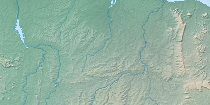
Marker is showing location of Serra da Mangaba on map(s). You can click on marker if you want to hide it.
 T: 0.01222 s.
2026 © Location.zone | Terms of use | Contact
 182°
182° 154°
154° 71°
71° 198°
198° 276°
276° 112°
112° 299°
299° 222°
222° 39°
39° 47°
47°