Serra da Taguatinga, (hill) is located in Tocantins, in Brazil (America). It is placed in GMT-3 time zone with current time of 01:17 PM, Thursday. Offset from your time zone: minutes.
| Latitude | 

|
|
| decimal | -12.33333 | |
| DMS | 12° 19' 59.988" S | |
| Distances from | ||
| North pole | 11378.4 km | |
| Equator | 1371.3 km | |
| South pole | 8635.7 km | |
| Longitude | 
|
|
| decimal | -46.46667 | |
| DMS | 46° 28' 0.012" W | |
| Distance from prime meridian: 5040.6 km to West |
||
List of nearest places sort by population
Barreiras 161.7 km 82°
82° 176°
176° 202°
202° 44°
44° 157°
157° 68°
68° 185°
185° 91°
91° 172°
172° 213°
213°

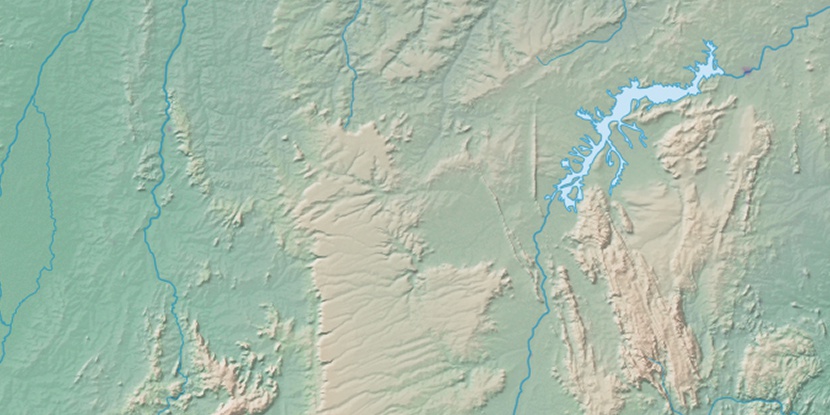
Marker is showing location of Serra da Taguatinga on map(s). You can click on marker if you want to hide it.
 T: 0.01226 s.
2026 © Location.zone | Terms of use | Contact
 304°
304° 349°
349° 226°
226° 32°
32° 46°
46° 261°
261° 286°
286°