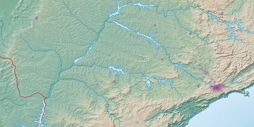
Serra de Santa Rita, (hill) is located in Mato Grosso do Sul, in Brazil (America). It is placed in GMT-4 time zone with current time of 09:51 AM, Thursday. Offset from your time zone: minutes.
| Latitude | 

|
|
| decimal | -21.16667 | |
| DMS | 21° 10' 0.012" S | |
| Distances from | ||
| North pole | 12360.6 km | |
| Equator | 2353.5 km | |
| South pole | 7653.5 km | |
| Longitude | 
|
|
| decimal | -52.75 | |
| DMS | 52° 45' 0" W | |
| Distance from prime meridian: 5442.4 km to West |
||
List of nearest places sort by population
Três Lagoas 116.5 km 68°
68° 135°
135° 130°
130° 122°
122° 102°
102° 105°
105° 307°
307° 75°101°
 203°
203°

Marker is showing location of Serra de Santa Rita on map(s). You can click on marker if you want to hide it.
 T: 0.01197 s.
2026 © Location.zone | Terms of use | Contact
 58°
58° 38°
38° 338°
338° 52°
52° 11°
11° 232°
232° 32°
32° 264°
264° 289°
289°