Serra do Tucunduba, (hill) is located in Ceará, in Brazil (America). It is placed in GMT-3 time zone with current time of 09:24 AM, Friday. Offset from your time zone: minutes.
| Latitude | 

|
|
| decimal | -3.21667 | |
| DMS | 3° 13' 0.012" S | |
| Distances from | ||
| North pole | 10364.7 km | |
| Equator | 357.7 km | |
| South pole | 9649.4 km | |
| Longitude | 
|
|
| decimal | -40.36667 | |
| DMS | 40° 22' 0.012" W | |
| Distance from prime meridian: 4481 km to West |
||
List of nearest places sort by population
Sobral 52.2 km 177°
177° 303°
303° 36°
36° 281°
281° 147°
147° 67°
67° 105°
105° 50°
50° 222°
222° 32°
32°

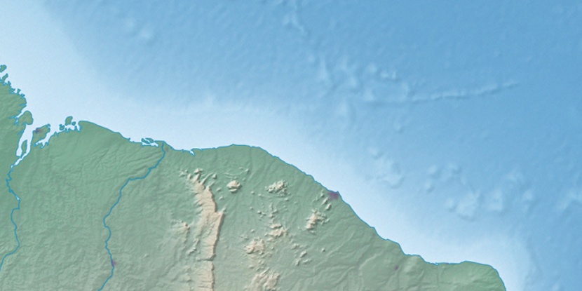
Marker is showing location of Serra do Tucunduba on map(s). You can click on marker if you want to hide it.
 T: 0.01245 s.
2026 © Location.zone | Terms of use | Contact
 196°
196° 187°
187° 169°
169° 210°
210° 270°
270° 131°
131° 258°
258°