Chapada do Sumidouro, (hills) is located in Minas Gerais, in Brazil (America). It is placed in GMT-3 time zone with current time of 09:39 AM, Thursday. Offset from your time zone: minutes.
| Latitude | 

|
|
| decimal | -16.03333 | |
| DMS | 16° 1' 59.988" S | |
| Distances from | ||
| North pole | 11789.8 km | |
| Equator | 1782.7 km | |
| South pole | 8224.3 km | |
| Longitude | 
|
|
| decimal | -42.1 | |
| DMS | 42° 6' 0" W | |
| Distance from prime meridian: 4490.9 km to West |
||
List of nearest places sort by population
Salinas 25.4 km 233°
233° 330°
330° 178°
178° 87°
87° 65°
65° 107°
107° 287°
287° 315°
315° 6°
6° 151°
151°

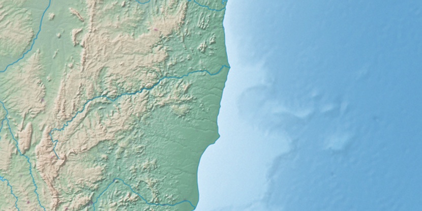
Marker is showing location of Chapada do Sumidouro on map(s). You can click on marker if you want to hide it.
 T: 0.01001 s.
2026 © Location.zone | Terms of use | Contact
 209°
209° 188°
188° 48°
48° 15°
15° 204°
204° 272°
272° 215°
215° 306°
306° 41°
41° 336°
336° 235°
235° 28°
28° 263°
263°