Serra da Mangaba, (hills) is located in Goiás, in Brazil (America). It is placed in GMT-3 time zone with current time of 10:40 AM, Thursday. Offset from your time zone: minutes.
| Latitude | 

|
|
| decimal | -17.6 | |
| DMS | 17° 36' 0" S | |
| Distances from | ||
| North pole | 11964 km | |
| Equator | 1956.9 km | |
| South pole | 8050.1 km | |
| Longitude | 
|
|
| decimal | -49.53333 | |
| DMS | 49° 31' 59.988" W | |
| Distance from prime meridian: 5233.8 km to West |
||
List of nearest places sort by population
Aparecida de Goiânia 91.7 km 19°
19° 107°
107° 157°
157° 58°
58° 41°
41° 47°
47° 0°
0° 304°
304° 139°24°

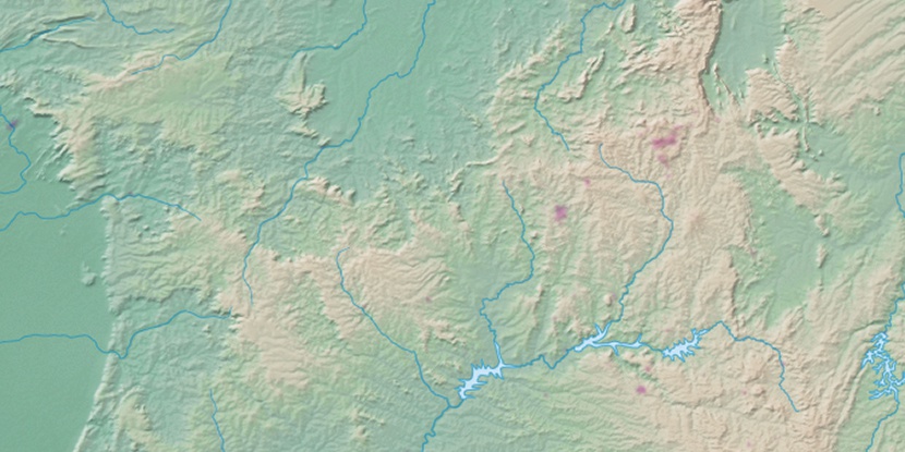
Marker is showing location of Serra da Mangaba on map(s). You can click on marker if you want to hide it.
 T: 0.00983 s.
2026 © Location.zone | Terms of use | Contact
 131°
131° 66°
66° 178°
178° 324°
324° 230°
230° 32°
32° 263°
263° 288°
288°