Serra de Santa Rita, (hills) is located in Minas Gerais, in Brazil (America). It is placed in GMT-3 time zone with current time of 10:49 AM, Thursday. Offset from your time zone: minutes.
| Latitude | 

|
|
| decimal | -17.95 | |
| DMS | 17° 57' 0" S | |
| Distances from | ||
| North pole | 12002.9 km | |
| Equator | 1995.9 km | |
| South pole | 8011.2 km | |
| Longitude | 
|
|
| decimal | -44.83333 | |
| DMS | 44° 49' 59.988" W | |
| Distance from prime meridian: 4730.2 km to West |
||
List of nearest places sort by population
Curvelo 99.2 km 154°
154° 350°
350° 104°
104° 49°
49° 15°
15° 279°
279° 184°348°
 140°19°

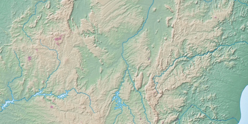
Marker is showing location of Serra de Santa Rita on map(s). You can click on marker if you want to hide it.
 T: 0.00987 s.
2026 © Location.zone | Terms of use | Contact
 196°
196° 162°
162° 306°
306° 208°
208° 44°
44° 236°
236° 29°
29° 263°
263° 287°
287°