Serra de São Simão, (hills) is located in Minas Gerais, in Brazil (America). It is placed in GMT-3 time zone with current time of 06:39 AM, Thursday. Offset from your time zone: minutes.
| Latitude | 

|
|
| decimal | -16.28333 | |
| DMS | 16° 16' 59.988" S | |
| Distances from | ||
| North pole | 11817.6 km | |
| Equator | 1810.5 km | |
| South pole | 8196.5 km | |
| Longitude | 
|
|
| decimal | -40.71667 | |
| DMS | 40° 43' 0.012" W | |
| Distance from prime meridian: 4338.1 km to West |
||
List of nearest places sort by population
Almenara 11.3 km 12°
12° 296°
296° 306°
306° 241°
241° 274°
274° 45°
45° 194°
194° 108°
108° 219°
219° 346°
346°

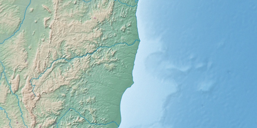
Marker is showing location of Serra de São Simão on map(s). You can click on marker if you want to hide it.
 T: 0.01025 s.
2026 © Location.zone | Terms of use | Contact
 199°
199° 32°
32° 332°
332° 43°
43° 263°
263° 286°
286°