Serra do Engenho, (hills) is located in Minas Gerais, in Brazil (America). It is placed in GMT-3 time zone with current time of 08:47 AM, Thursday. Offset from your time zone: minutes.
| Latitude | 

|
|
| decimal | -16.8 | |
| DMS | 16° 48' 0" S | |
| Distances from | ||
| North pole | 11875 km | |
| Equator | 1868 km | |
| South pole | 8139.1 km | |
| Longitude | 
|
|
| decimal | -42.91667 | |
| DMS | 42° 55' 0.012" W | |
| Distance from prime meridian: 4558.8 km to West |
||
List of nearest places sort by population
Montes Claros 100.9 km 274°
274° 250°
250° 43°
43° 93°
93° 156°
156° 177°
177° 354°
354° 300°159°
 143°
143°

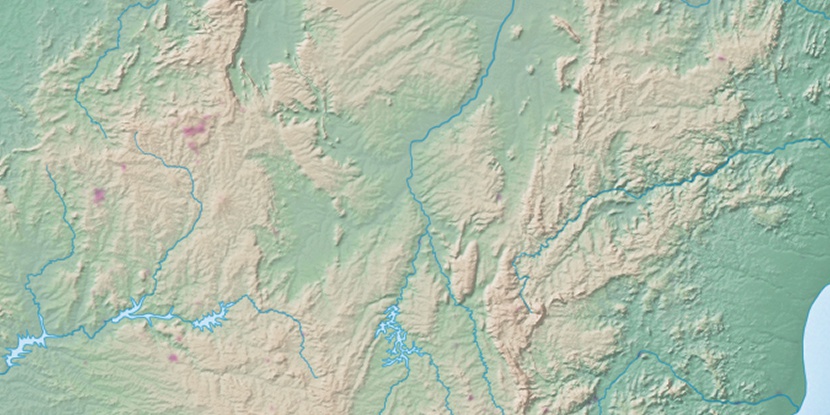
Marker is showing location of Serra do Engenho on map(s). You can click on marker if you want to hide it.
 T: 0.00967 s.
2026 © Location.zone | Terms of use | Contact
 207°
207° 48°
48° 18°
18° 197°
197° 281°
281° 309°
309° 340°
340° 236°
236° 28°
28° 263°
263° 287°
287°