Serra do Maracajá, (hills) is located in Rio Grande do Norte, in Brazil (America). It is placed in GMT-3 time zone with current time of 03:34 AM, Friday. Offset from your time zone: minutes.
| Latitude | 

|
|
| decimal | -6.08333 | |
| DMS | 6° 4' 59.988" S | |
| Distances from | ||
| North pole | 10683.5 km | |
| Equator | 676.4 km | |
| South pole | 9330.7 km | |
| Longitude | 
|
|
| decimal | -36.28333 | |
| DMS | 36° 16' 59.988" W | |
| Distance from prime meridian: 4010.8 km to West |
||
List of nearest places sort by population
Currais Novos 32.6 km 232°
232° 119°
119° 162°
162° 188°
188° 167°
167° 288°
288° 354°
354° 61°
61° 265°
265° 301°
301°

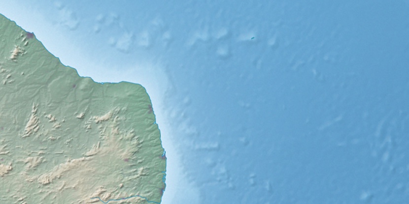
Marker is showing location of Serra do Maracajá on map(s). You can click on marker if you want to hide it.
 T: 0.0101 s.
2026 © Location.zone | Terms of use | Contact
 209°
209° 201°
201° 316°
316° 277°
277° 144°
144° 28°
28° 36°
36° 45°
45° 260°
260° 75°
75°