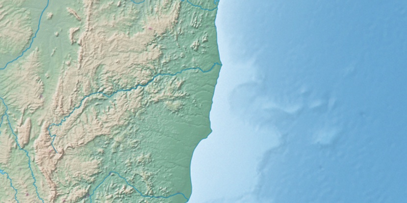
Serra Santana, (hills) is located in Minas Gerais, in Brazil (America). It is placed in GMT-3 time zone with current time of 08:49 AM, Thursday. Offset from your time zone: minutes.
| Latitude | 

|
|
| decimal | -16.66667 | |
| DMS | 16° 40' 0.012" S | |
| Distances from | ||
| North pole | 11860.2 km | |
| Equator | 1853.2 km | |
| South pole | 8153.9 km | |
| Longitude | 
|
|
| decimal | -41.98333 | |
| DMS | 41° 58' 59.988" W | |
| Distance from prime meridian: 4463.3 km to West |
||
List of nearest places sort by population
Salinas 64.2 km 329°
329° 344°
344° 204°
204° 47°
47° 130°
130° 172°
172° 89°
89° 226°
226° 152°
152° 75°
75°

Marker is showing location of Serra Santana on map(s). You can click on marker if you want to hide it.
 T: 0.01005 s.
2026 © Location.zone | Terms of use | Contact
 212°
212° 190°
190° 42°
42° 14°
14° 278°
278° 217°
217° 307°
307° 236°
236° 28°
28° 263°
263° 287°
287°