Ilha Antonio Pedro, (island) is located in Pará, in Brazil (America). It is placed in GMT-4 time zone with current time of 09:29 AM, Thursday. Offset from your time zone: minutes.
| Latitude | 

|
|
| decimal | -4.74778 | |
| DMS | 4° 44' 52.008" S | |
| Distances from | ||
| North pole | 10535 km | |
| Equator | 527.9 km | |
| South pole | 9479.2 km | |
| Longitude | 
|
|
| decimal | -52.79333 | |
| DMS | 52° 47' 35.988" W | |
| Distance from prime meridian: 5848.4 km to West |
||
List of nearest places sort by population
Santarém 332.9 km 320°
320° 72°
72° 20°
20° 278°
278° 334°
334° 3°
3° 157°
157° 10°
10° 346°21°

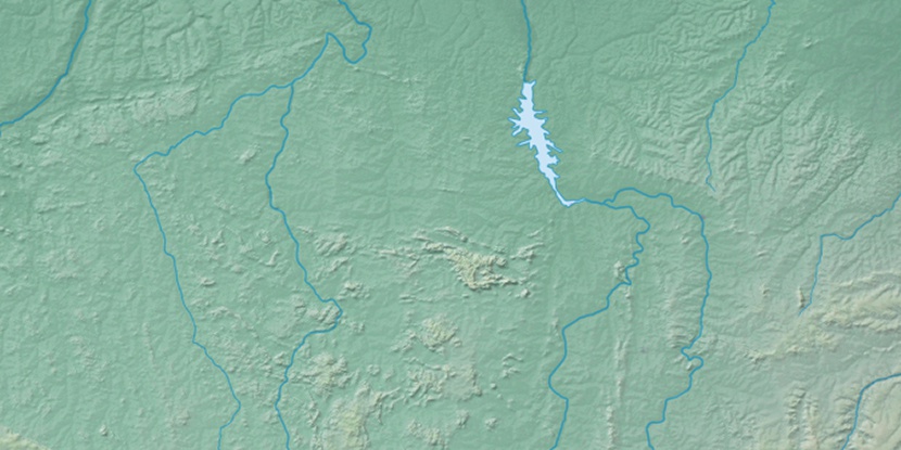
Marker is showing location of Ilha Antonio Pedro on map(s). You can click on marker if you want to hide it.
 T: 0.01392 s.
2026 © Location.zone | Terms of use | Contact
 152°
152° 120°
120° 85°
85° 170°
170° 100°
100° 52°
52° 210°
210° 38°
38° 258°
258°