Ilha Cajutuba, (island) is located in Pará, in Brazil (America). It is placed in GMT-3 time zone with current time of 07:45 AM, Thursday. Offset from your time zone: minutes.
| Latitude | 

|
|
| decimal | -0.6 | |
| DMS | 0° 36' 0" S | |
| Distances from | ||
| North pole | 10073.8 km | |
| Equator | 66.7 km | |
| South pole | 9940.3 km | |
| Longitude | 
|
|
| decimal | -47.71667 | |
| DMS | 47° 43' 0.012" W | |
| Distance from prime meridian: 5305.3 km to West |
||
List of nearest places sort by population
Castanhal 80.6 km 196°
196° 92°
92° 238°
238° 169°
169° 122°
122° 225°171°
 107°
107° 216°243°

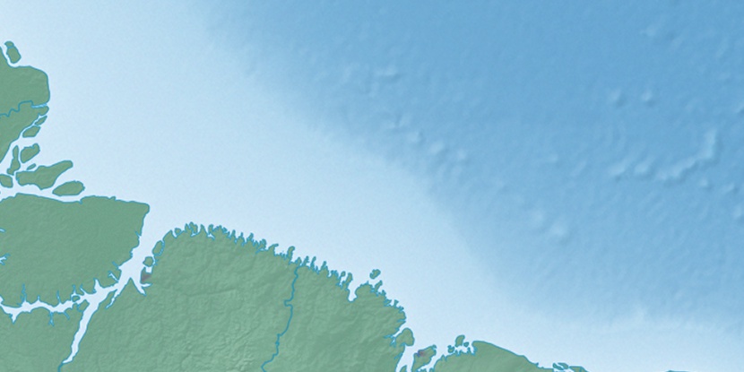
Marker is showing location of Ilha Cajutuba on map(s). You can click on marker if you want to hide it.
 T: 0.01389 s.
2026 © Location.zone | Terms of use | Contact
 177°
177° 143°
143° 258°
258° 213°
213° 38°
38° 51°
51° 282°
282°