Ilha Capão Queimado, (island) is located in Mato Grosso do Sul, in Brazil (America). It is placed in GMT-4 time zone with current time of 03:57 PM, Thursday. Offset from your time zone: minutes.
| Latitude | 

|
|
| decimal | -20.4 | |
| DMS | 20° 24' 0" S | |
| Distances from | ||
| North pole | 12275.3 km | |
| Equator | 2268.3 km | |
| South pole | 7738.8 km | |
| Longitude | 
|
|
| decimal | -58.03333 | |
| DMS | 58° 1' 59.988" W | |
| Distance from prime meridian: 6013.6 km to West |
||
List of nearest places sort by population
Corumbá 159.7 km 14°
14° 91°
91° 121°92°
 140°
140° 16°116°
 84°
84° 173°120°

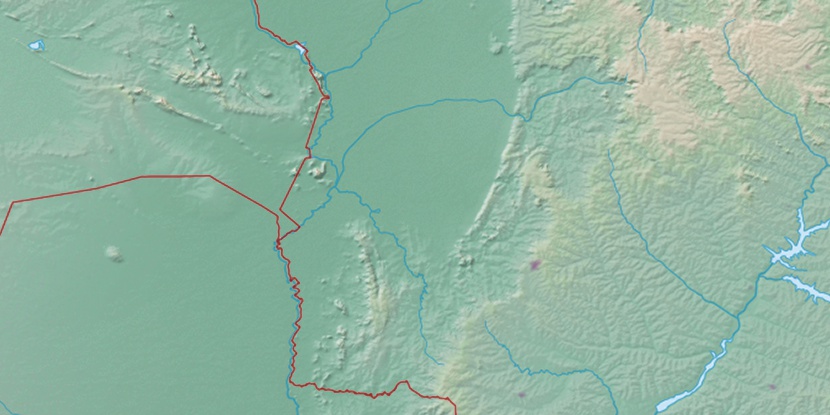
Marker is showing location of Ilha Capão Queimado on map(s). You can click on marker if you want to hide it.
 T: 0.01335 s.
2026 © Location.zone | Terms of use | Contact
 106°
106° 100°
100° 68°
68° 48°
48° 64°
64° 353°
353° 26°
26° 220°
220° 35°
35° 264°
264° 290°
290°