Ilha Capivara, (island) is located in Tocantins, in Brazil (America). It is placed in GMT-3 time zone with current time of 04:15 AM, Saturday. Offset from your time zone: minutes.
| Latitude | 

|
|
| decimal | -9.13333 | |
| DMS | 9° 7' 59.988" S | |
| Distances from | ||
| North pole | 11022.6 km | |
| Equator | 1015.5 km | |
| South pole | 8991.5 km | |
| Longitude | 
|
|
| decimal | -49.9 | |
| DMS | 49° 54' 0" W | |
| Distance from prime meridian: 5473.3 km to West |
||
List of nearest places sort by population
Palmas 207.2 km 123°
123° 40°
40° 162°35°
 60°
60° 320°
320° 53°
53° 25°
25° 167°
167° 95°
95°

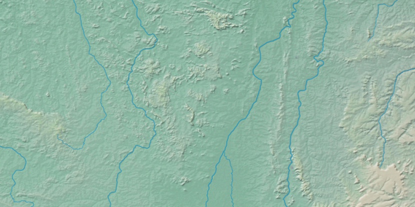
Marker is showing location of Ilha Capivara on map(s). You can click on marker if you want to hide it.
 T: 0.01388 s.
2026 © Location.zone | Terms of use | Contact
 108°
108° 151°
151° 177°
177° 300°
300° 85°
85° 10°
10° 218°
218° 260°
260° 285°
285°