Ilha da Anta, (island) is located in Mato Grosso, in Brazil (America). It is placed in GMT-4 time zone with current time of 08:44 AM, Thursday. Offset from your time zone: minutes.
| Latitude | 

|
|
| decimal | -11.23333 | |
| DMS | 11° 13' 59.988" S | |
| Distances from | ||
| North pole | 11256.1 km | |
| Equator | 1249 km | |
| South pole | 8758 km | |
| Longitude | 
|
|
| decimal | -58.56667 | |
| DMS | 58° 34' 0.012" W | |
| Distance from prime meridian: 6375.5 km to West |
||
List of nearest places sort by population
Sinop 341.1 km 101°
101° 275°
275° 225°
225° 265°
265° 315°277°
 260°271°
 151°152°

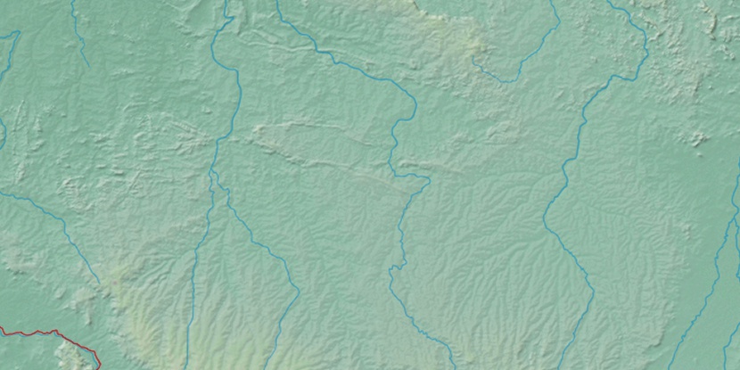
Marker is showing location of Ilha da Anta on map(s). You can click on marker if you want to hide it.
 T: 0.01351 s.
2026 © Location.zone | Terms of use | Contact
 137°
137° 128°
128° 69°
69° 121°
121° 113°
113° 349°
349° 82°
82° 45°
45° 206°
206° 39°
39° 287°
287°