Ilha da Barra, (island) is located in Paraná, in Brazil (America). It is placed in GMT-3 time zone with current time of 12:19 PM, Thursday. Offset from your time zone: minutes.
| Latitude | 

|
|
| decimal | -22.66667 | |
| DMS | 22° 40' 0.012" S | |
| Distances from | ||
| North pole | 12527.4 km | |
| Equator | 2520.3 km | |
| South pole | 7486.8 km | |
| Longitude | 
|
|
| decimal | -53.11667 | |
| DMS | 53° 7' 0.012" W | |
| Distance from prime meridian: 5418.6 km to West |
||
List of nearest places sort by population
Paranavaí 80.6 km 124°
124° 99°
99° 184°
184° 81°
81° 239°
239° 129°122°95°
 111°
111° 338°
338°

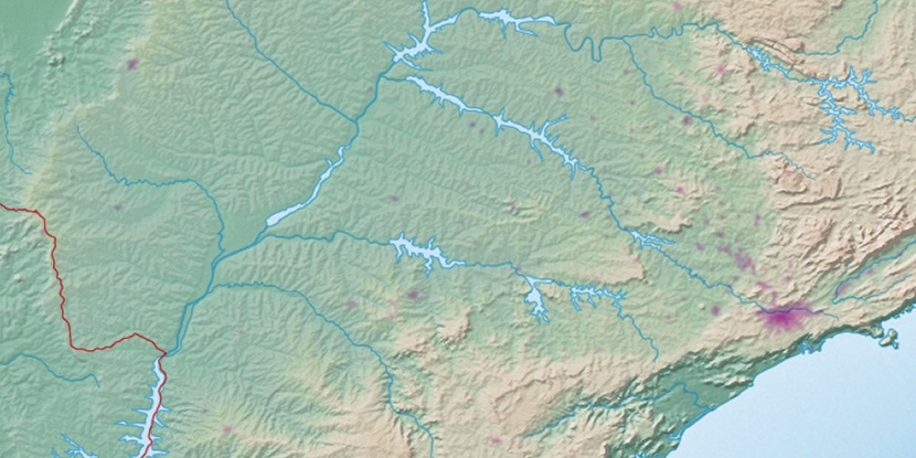
Marker is showing location of Ilha da Barra on map(s). You can click on marker if you want to hide it.
 T: 0.01337 s.
2026 © Location.zone | Terms of use | Contact
 91°
91° 55°
55° 36°
36° 72°
72° 50°
50° 11°
11° 32°
32° 265°
265° 290°
290°