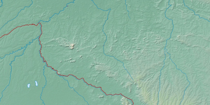
Ilha da Conceição, (island) is located in Rondônia, in Brazil (America). It is placed in GMT-4 time zone with current time of 07:09 AM, Saturday. Offset from your time zone: minutes.
| Latitude | 

|
|
| decimal | -12.38892 | |
| DMS | 12° 23' 20.112" S | |
| Distances from | ||
| North pole | 11384.6 km | |
| Equator | 1377.5 km | |
| South pole | 8629.5 km | |
| Longitude | 
|
|
| decimal | -64.45565 | |
| DMS | 64° 27' 20.34" W | |
| Distance from prime meridian: 6980.6 km to West |
||
List of nearest places sort by population
Ji Paraná 319.9 km 58°
58° 29°
29° 72°
72° 108°
108° 331°
331° 44°
44° 53°
53° 77°
77° 307°64°

Marker is showing location of Ilha da Conceição on map(s). You can click on marker if you want to hide it.
 T: 0.01378 s.
2026 © Location.zone | Terms of use | Contact
 123°
123° 91°
91° 101°
101° 132°
132° 195°
195° 260°
260° 288°
288°