Ilha da Inglaterra, (island) is located in Bahia, in Brazil (America). It is placed in GMT-3 time zone with current time of 04:46 AM, Saturday. Offset from your time zone: minutes.
| Latitude | 

|
|
| decimal | -14.45 | |
| DMS | 14° 27' 0" S | |
| Distances from | ||
| North pole | 11613.8 km | |
| Equator | 1606.7 km | |
| South pole | 8400.4 km | |
| Longitude | 
|
|
| decimal | -43.85 | |
| DMS | 43° 51' 0" W | |
| Distance from prime meridian: 4713.8 km to West |
||
List of nearest places sort by population
Guanambi 117.8 km 77°
77° 205°
205° 342°
342° 167°
167° 115°
115° 199°
199° 194°
194° 29°
29° 126°
126° 74°
74°

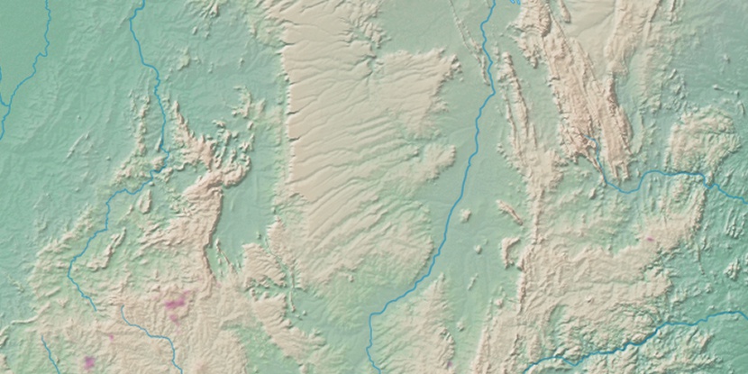
Marker is showing location of Ilha da Inglaterra on map(s). You can click on marker if you want to hide it.
 T: 0.0137 s.
2026 © Location.zone | Terms of use | Contact
 175°
175° 251°
251° 305°
305° 53°
53° 232°
232° 36°
36° 262°
262° 286°
286°