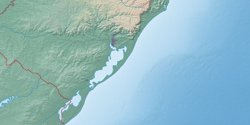
Ilha da Ponta Rasa, (island) is located in Rio Grande do Sul, in Brazil (America). It is placed in GMT-3 time zone with current time of 09:49 AM, Thursday. Offset from your time zone: minutes.
| Latitude | 

|
|
| decimal | -29.964 | |
| DMS | 29° 57' 50.4" S | |
| Distances from | ||
| North pole | 13338.7 km | |
| Equator | 3331.7 km | |
| South pole | 6675.4 km | |
| Longitude | 
|
|
| decimal | -51.3726 | |
| DMS | 51° 22' 21.36" W | |
| Distance from prime meridian: 4904.7 km to West |
||
List of nearest places sort by population
Porto Alegre 15.7 km 119°
119° 74°
74° 43°
43° 55°
55° 86°
86° 164°58°
 344°
344° 272°
272° 23°
23°

Marker is showing location of Ilha da Ponta Rasa on map(s). You can click on marker if you want to hide it.
 T: 0.01348 s.
2026 © Location.zone | Terms of use | Contact
 33°
33° 45°
45° 12°
12° 257°
257° 292°
292°