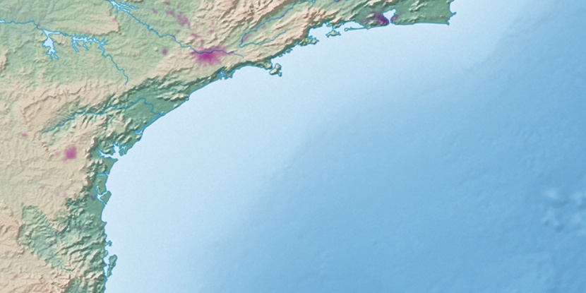
Ilha da Sapata, (island) is located in São Paulo, in Brazil (America). It is placed in GMT-3 time zone with current time of 05:49 AM, Saturday. Offset from your time zone: minutes.
| Latitude | 

|
|
| decimal | -24.08333 | |
| DMS | 24° 4' 59.988" S | |
| Distances from | ||
| North pole | 12684.9 km | |
| Equator | 2677.8 km | |
| South pole | 7329.2 km | |
| Longitude | 
|
|
| decimal | -45.66667 | |
| DMS | 45° 40' 0.012" W | |
| Distance from prime meridian: 4614.1 km to West |
||
List of nearest places sort by population
Santos 69.1 km 281°280°279°276°
 285°
285° 26°
26° 35°
35° 297°42°
 326°
326°

Marker is showing location of Ilha da Sapata on map(s). You can click on marker if you want to hide it.
 T: 0.01391 s.
2026 © Location.zone | Terms of use | Contact
 62°
62° 18°
18° 345°
345° 247°
247° 266°
266°