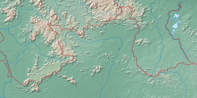
Ilha de Maracá, (island) is located in Roraima, in Brazil (America). It is placed in GMT-4 time zone with current time of 05:34 AM, Thursday. Offset from your time zone: minutes.
| Latitude | 

|
|
| decimal | 3.41667 | |
| DMS | 3° 25' 0.012" N | |
| Distances from | ||
| North pole | 9627.2 km | |
| Equator | 379.9 km | |
| South pole | 10387 km | |
| Longitude | 
|
|
| decimal | -61.66667 | |
| DMS | 61° 40' 0.012" W | |
| Distance from prime meridian: 6843.2 km to West |
||
List of nearest places sort by population
Manaus 747.4 km 165°
165° 121°171°
 162°
162° 236°167°168°
 196°
196° 215°221°

Marker is showing location of Ilha de Maracá on map(s). You can click on marker if you want to hide it.
 T: 0.01333 s.
2026 © Location.zone | Terms of use | Contact
 151°
151° 125°
125° 107°
107° 143°
143° 192°
192° 47°
47° 57°
57° 282°
282° 254°
254°