Ilha de Santa Bárbara, (island) is located in Bahia, in Brazil (America). It is placed in GMT-3 time zone with current time of 04:59 PM, Thursday. Offset from your time zone: minutes.
| Latitude | 

|
|
| decimal | -17.96298 | |
| DMS | 17° 57' 46.728" S | |
| Distances from | ||
| North pole | 12004.4 km | |
| Equator | 1997.3 km | |
| South pole | 8009.8 km | |
| Longitude | 
|
|
| decimal | -38.69865 | |
| DMS | 38° 41' 55.14" W | |
| Distance from prime meridian: 4085.4 km to West |
||
List of nearest places sort by population
Porto Seguro 172.7 km 346°
346° 235°
235° 276°
276° 319°
319° 274°
274° 261°237°321°
 292°264°

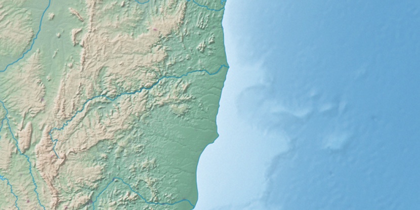
Marker is showing location of Ilha de Santa Bárbara on map(s). You can click on marker if you want to hide it.
 T: 0.0136 s.
2026 © Location.zone | Terms of use | Contact
 233°
233° 220°
220° 2°
2° 248°
248° 305°
305° 20°
20° 329°
329° 26°
26° 41°
41° 72°
72°