Ilha de São Bento, (island) is located in Amazonas, in Brazil (America). It is placed in GMT-4 time zone with current time of 02:35 AM, Friday. Offset from your time zone: minutes.
| Latitude | 

|
|
| decimal | -7.47532 | |
| DMS | 7° 28' 31.152" S | |
| Distances from | ||
| North pole | 10838.2 km | |
| Equator | 831.2 km | |
| South pole | 9175.9 km | |
| Longitude | 
|
|
| decimal | -60.65177 | |
| DMS | 60° 39' 6.372" W | |
| Distance from prime meridian: 6680.6 km to West |
||
List of nearest places sort by population
Porto Velho 385.5 km 248°
248° 224°
224° 268°
268° 211°
211° 179°205°
 338°
338° 18°
18° 6°
6° 66°
66°

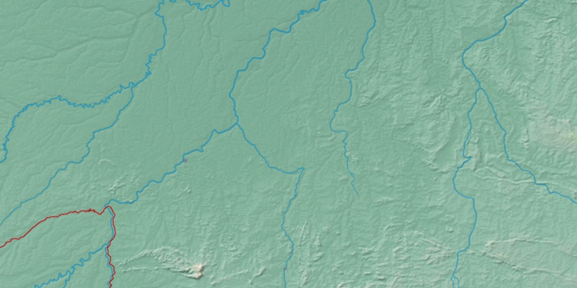
Marker is showing location of Ilha de São Bento on map(s). You can click on marker if you want to hide it.
 T: 0.0136 s.
2026 © Location.zone | Terms of use | Contact
 140°
140° 132°
132° 104°
104° 80°
80° 123°
123° 148°
148° 91°
91° 63°
63° 199°
199° 41°
41° 46°
46° 259°
259° 285°
285°