Ilha do Amarra Couro, (island) is located in Bahia, in Brazil (America). It is placed in GMT-3 time zone with current time of 05:42 AM, Saturday. Offset from your time zone: minutes.
| Latitude | 

|
|
| decimal | -10.71667 | |
| DMS | 10° 43' 0.012" S | |
| Distances from | ||
| North pole | 11198.6 km | |
| Equator | 1191.6 km | |
| South pole | 8815.5 km | |
| Longitude | 
|
|
| decimal | -42.7 | |
| DMS | 42° 42' 0" W | |
| Distance from prime meridian: 4661 km to West |
||
List of nearest places sort by population
Irecê 112.9 km 125°
125° 194°
194° 229°
229° 143°143°
 120°128°128°136°
 182°
182°

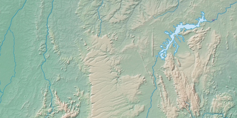
Marker is showing location of Ilha do Amarra Couro on map(s). You can click on marker if you want to hide it.
 T: 0.01362 s.
2026 © Location.zone | Terms of use | Contact
 196°
196° 30°
30° 293°
293° 70°
70° 328°
328° 37°
37° 45°
45° 261°
261°