Ilha do Brás, (island) is located in Maranhão, in Brazil (America). It is placed in GMT-3 time zone with current time of 04:25 PM, Thursday. Offset from your time zone: minutes.
| Latitude | 

|
|
| decimal | -5.18333 | |
| DMS | 5° 10' 59.988" S | |
| Distances from | ||
| North pole | 10583.4 km | |
| Equator | 576.3 km | |
| South pole | 9430.7 km | |
| Longitude | 
|
|
| decimal | -48.41667 | |
| DMS | 48° 25' 0.012" W | |
| Distance from prime meridian: 5360 km to West |
||
List of nearest places sort by population
Imperatriz 109.3 km 110°
110° 254°
254° 174°
174° 318°
318° 273°
273° 156°
156° 138°
138° 186°
186° 102°
102° 115°
115°

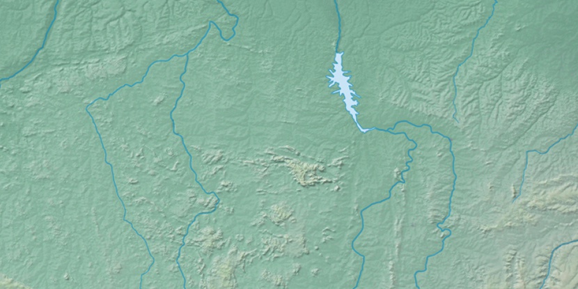
Marker is showing location of Ilha do Brás on map(s). You can click on marker if you want to hide it.
 T: 0.01397 s.
2026 © Location.zone | Terms of use | Contact
 128°
128° 81°
81° 177°
177° 280°
280° 358°
358° 216°
216° 36°
36° 49°
49° 259°
259°