Ilha do Capão, (island) is located in Minas Gerais, in Brazil (America). It is placed in GMT-3 time zone with current time of 04:25 PM, Thursday. Offset from your time zone: minutes.
| Latitude | 

|
|
| decimal | -14.96667 | |
| DMS | 14° 58' 0.012" S | |
| Distances from | ||
| North pole | 11671.2 km | |
| Equator | 1664.1 km | |
| South pole | 8342.9 km | |
| Longitude | 
|
|
| decimal | -43.98333 | |
| DMS | 43° 58' 59.988" W | |
| Distance from prime meridian: 4716.4 km to West |
||
List of nearest places sort by population
Janaúba 117.7 km 142°
142° 214°
214° 149°
149° 217°
217° 13°
13° 17°
17° 99°
99° 181°
181° 48°183°

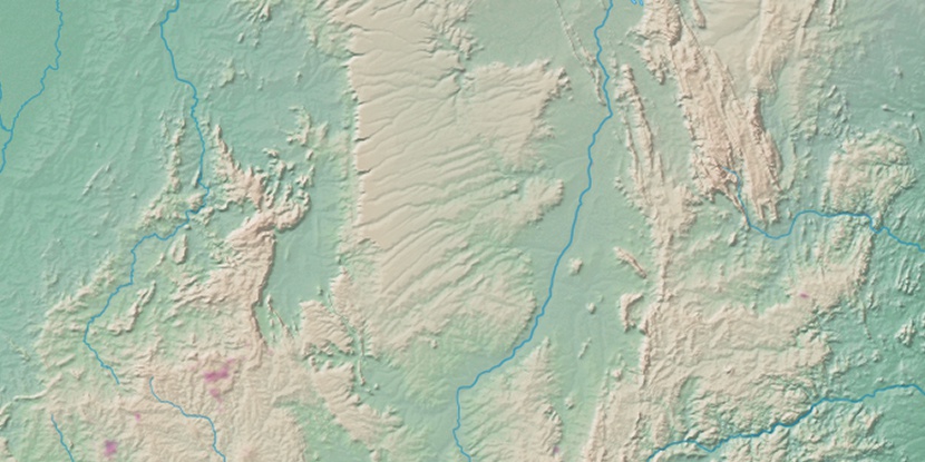
Marker is showing location of Ilha do Capão on map(s). You can click on marker if you want to hide it.
 T: 0.01347 s.
2026 © Location.zone | Terms of use | Contact
 196°
196° 174°
174° 69°
69° 25°
25° 257°
257° 306°
306° 341°
341° 232°
232° 36°
36° 286°
286°