Ilha do Carro, (island) is located in Pará, in Brazil (America). It is placed in GMT-4 time zone with current time of 12:15 PM, Thursday. Offset from your time zone: minutes.
| Latitude | 

|
|
| decimal | -4.46167 | |
| DMS | 4° 27' 42.012" S | |
| Distances from | ||
| North pole | 10503.2 km | |
| Equator | 496.1 km | |
| South pole | 9511 km | |
| Longitude | 
|
|
| decimal | -53.83333 | |
| DMS | 53° 49' 59.988" W | |
| Distance from prime meridian: 5966.1 km to West |
||
List of nearest places sort by population
Santarém 244.6 km 336°
336° 52°
52° 274°340°
 326°
326° 354°
354° 140°
140° 30°
30° 7°45°
7°45°

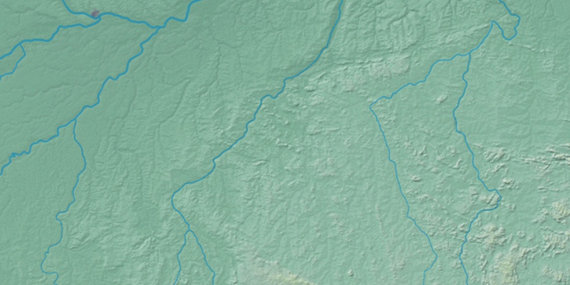
Marker is showing location of Ilha do Carro on map(s). You can click on marker if you want to hide it.
 T: 0.0137 s.
2026 © Location.zone | Terms of use | Contact
 159°
159° 150°
150° 119°
119° 87°
87° 168°
168° 282°
282° 100°
100° 60°
60° 208°
208° 39°
39° 258°
258°