Ilha do Cumaru, (island) is located in Pará, in Brazil (America). It is placed in GMT-3 time zone with current time of 03:23 AM, Friday. Offset from your time zone: minutes.
| Latitude | 

|
|
| decimal | -0.71667 | |
| DMS | 0° 43' 0.012" S | |
| Distances from | ||
| North pole | 10086.7 km | |
| Equator | 79.7 km | |
| South pole | 9927.4 km | |
| Longitude | 
|
|
| decimal | -47.45 | |
| DMS | 47° 27' 0" W | |
| Distance from prime meridian: 5275.5 km to West |
||
List of nearest places sort by population
Capanema 61.1 km 150°
150° 42°
42° 258°
258° 202°
202° 191°
191° 184°
184° 268°269°
 102°266°

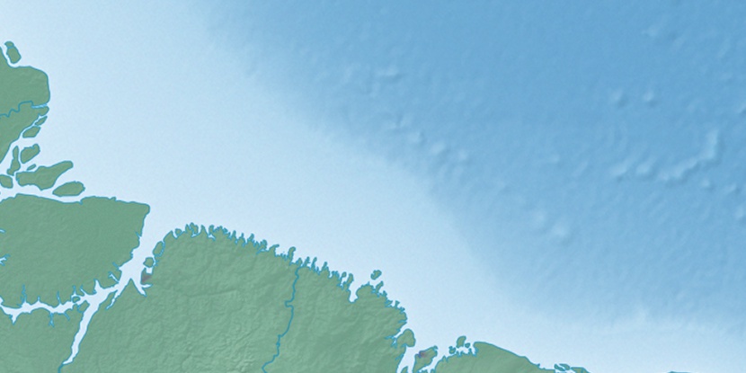
Marker is showing location of Ilha do Cumaru on map(s). You can click on marker if you want to hide it.
 T: 0.01454 s.
2026 © Location.zone | Terms of use | Contact
 169°
169° 144°
144° 108°
108° 120°
120° 234°
234° 213°
213° 51°
51° 282°
282°