Ilha do Itanduba, (island) is located in Pará, in Brazil (America). It is placed in GMT-3 time zone with current time of 02:17 PM, Thursday. Offset from your time zone: minutes.
| Latitude | 

|
|
| decimal | -1.83866 | |
| DMS | 1° 50' 19.176" S | |
| Distances from | ||
| North pole | 10211.5 km | |
| Equator | 204.4 km | |
| South pole | 9802.6 km | |
| Longitude | 
|
|
| decimal | -53.35884 | |
| DMS | 53° 21' 31.824" W | |
| Distance from prime meridian: 5929.7 km to West |
||
List of nearest places sort by population
Santarém 164.3 km 245°
245° 139°
139° 265°267°
 257°
257° 67°
67° 85°
85° 287°
287° 75°
75° 118°
118°

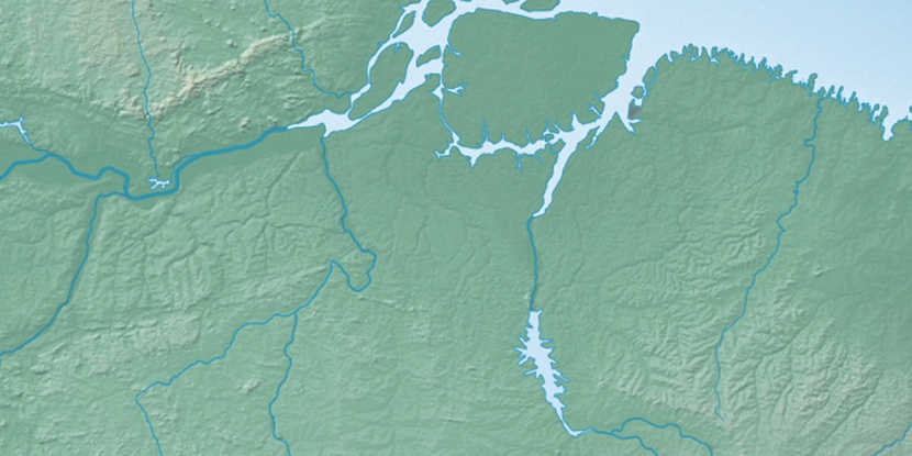
Marker is showing location of Ilha do Itanduba on map(s). You can click on marker if you want to hide it.
 T: 0.01349 s.
2026 © Location.zone | Terms of use | Contact
 163°
163° 154°
154° 127°
127° 97°
97° 170°
170° 108°
108° 207°
207° 40°
40° 46°
46° 283°
283°