Ilha do Mucura, (island) is located in Pará, in Brazil (America). It is placed in GMT-4 time zone with current time of 03:47 AM, Friday. Offset from your time zone: minutes.
| Latitude | 

|
|
| decimal | -5.28333 | |
| DMS | 5° 16' 59.988" S | |
| Distances from | ||
| North pole | 10594.5 km | |
| Equator | 587.5 km | |
| South pole | 9419.6 km | |
| Longitude | 
|
|
| decimal | -56.78333 | |
| DMS | 56° 46' 59.988" W | |
| Distance from prime meridian: 6284.5 km to West |
||
List of nearest places sort by population
Itacoatiara 300.9 km 322°
322° 38°
38° 1°
1° 333°
333° 301°
301° 353°327°
 339°
339° 306°
306° 225°
225°

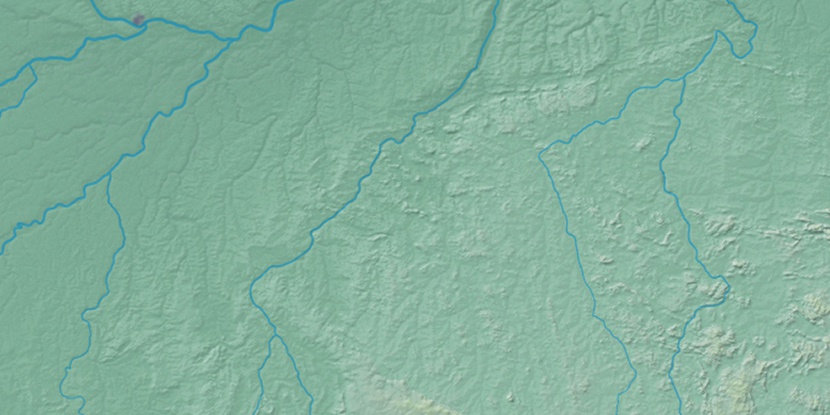
Marker is showing location of Ilha do Mucura on map(s). You can click on marker if you want to hide it.
 T: 0.01352 s.
2026 © Location.zone | Terms of use | Contact
 151°
151° 143°
143° 113°
113° 85°
85° 160°
160° 97°
97° 65°
65° 204°
204° 46°
46° 258°
258° 284°
284°