Ilha do Roberto, (island) is located in Minas Gerais, in Brazil (America). It is placed in GMT-3 time zone with current time of 01:34 PM, Thursday. Offset from your time zone: minutes.
| Latitude | 

|
|
| decimal | -20.11667 | |
| DMS | 20° 7' 0.012" S | |
| Distances from | ||
| North pole | 12243.8 km | |
| Equator | 2236.8 km | |
| South pole | 7770.3 km | |
| Longitude | 
|
|
| decimal | -47.91667 | |
| DMS | 47° 55' 0.012" W | |
| Distance from prime meridian: 4984.5 km to West |
||
List of nearest places sort by population
Uberaba 41 km 357°
357° 172°
172° 150°
150° 241°
241° 63°
63° 164°239°
 294°
294° 195°
195° 108°
108°

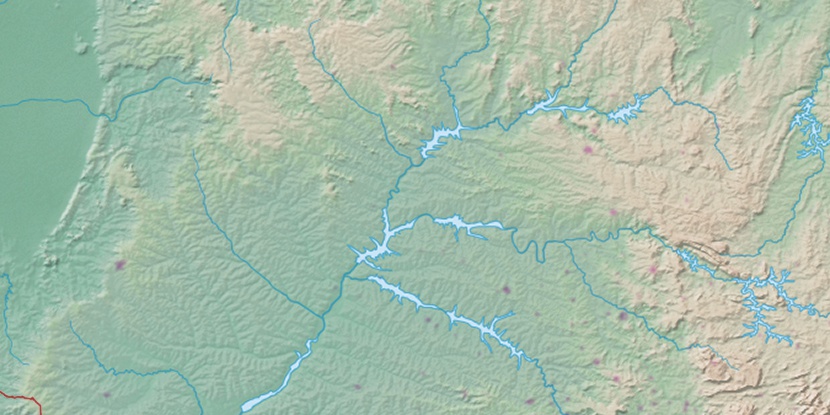
Marker is showing location of Ilha do Roberto on map(s). You can click on marker if you want to hide it.
 T: 0.01368 s.
2026 © Location.zone | Terms of use | Contact
 122°
122° 51°
51° 29°
29° 87°
87° 193°
193° 325°
325° 36°
36° 264°
264°