Ilha do Tamanduá, (island) is located in Pará, in Brazil (America). It is placed in GMT-3 time zone with current time of 06:55 AM, Friday. Offset from your time zone: minutes.
| Latitude | 

|
|
| decimal | -4.93444 | |
| DMS | 4° 56' 3.984" S | |
| Distances from | ||
| North pole | 10555.7 km | |
| Equator | 548.7 km | |
| South pole | 9458.4 km | |
| Longitude | 
|
|
| decimal | -52.86417 | |
| DMS | 52° 51' 51.012" W | |
| Distance from prime meridian: 5854.5 km to West |
||
List of nearest places sort by population
Santarém 344.4 km 323°
323° 69°
69° 20°
20° 281°
281° 337°
337° 4°
4° 153°
153° 11°
11° 348°21°

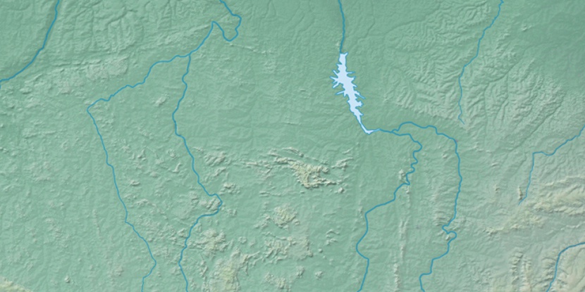
Marker is showing location of Ilha do Tamanduá on map(s). You can click on marker if you want to hide it.
 T: 0.01381 s.
2026 © Location.zone | Terms of use | Contact
 162°
162° 119°
119° 85°
85° 170°
170° 99°
99° 51°
51° 210°
210° 38°
38° 258°
258°