Ilha do Vará, (island) is located in Mato Grosso, in Brazil (America). It is placed in GMT-4 time zone with current time of 07:44 AM, Thursday. Offset from your time zone: minutes.
| Latitude | 

|
|
| decimal | -13.01667 | |
| DMS | 13° 1' 0.012" S | |
| Distances from | ||
| North pole | 11454.4 km | |
| Equator | 1447.3 km | |
| South pole | 8559.7 km | |
| Longitude | 
|
|
| decimal | -50.56667 | |
| DMS | 50° 34' 0.012" W | |
| Distance from prime meridian: 5468.3 km to West |
||
List of nearest places sort by population
Gurupi 216.7 km 48°
48° 107°
107° 137°
137° 123°
123° 157°160°
 152°159°
 180°
180° 69°
69°

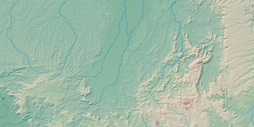
Marker is showing location of Ilha do Vará on map(s). You can click on marker if you want to hide it.
 T: 0.01379 s.
2026 © Location.zone | Terms of use | Contact
 89°
89° 174°
174° 316°
316° 10°
10° 221°
221° 34°
34° 40°
40° 261°
261° 286°
286°