Ilha do Vicente, (island) is located in Mato Grosso, in Brazil (America). It is placed in GMT-4 time zone with current time of 07:45 AM, Thursday. Offset from your time zone: minutes.
| Latitude | 

|
|
| decimal | -8.55 | |
| DMS | 8° 33' 0" S | |
| Distances from | ||
| North pole | 10957.7 km | |
| Equator | 950.7 km | |
| South pole | 9056.4 km | |
| Longitude | 
|
|
| decimal | -57.58333 | |
| DMS | 57° 34' 59.988" W | |
| Distance from prime meridian: 6325 km to West |
||
List of nearest places sort by population
Sinop 433.2 km 148°
148° 20°
20° 232°
232° 258°228°
 306°
306° 342°
342° 334°
334° 321°
321° 355°
355°

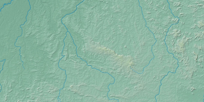
Marker is showing location of Ilha do Vicente on map(s). You can click on marker if you want to hide it.
 T: 0.01349 s.
2026 © Location.zone | Terms of use | Contact
 136°
136° 103°
103° 75°
75° 130°
130° 88°
88° 51°
51° 205°
205° 39°
39° 286°
286°