Ilha dos Bandeirantes, (island) is located in Paraná, in Brazil (America). It is placed in GMT-4 time zone with current time of 04:04 PM, Thursday. Offset from your time zone: minutes.
| Latitude | 

|
|
| decimal | -23.36667 | |
| DMS | 23° 22' 0.012" S | |
| Distances from | ||
| North pole | 12605.2 km | |
| Equator | 2598.1 km | |
| South pole | 7408.9 km | |
| Longitude | 
|
|
| decimal | -53.83333 | |
| DMS | 53° 49' 59.988" W | |
| Distance from prime meridian: 5460.5 km to West |
||
List of nearest places sort by population
Umuarama 68.3 km 130°
130° 312°
312° 55°
55° 20°
20° 266°
266° 187°
187° 169°
169° 151°
151° 244°
244° 224°
224°

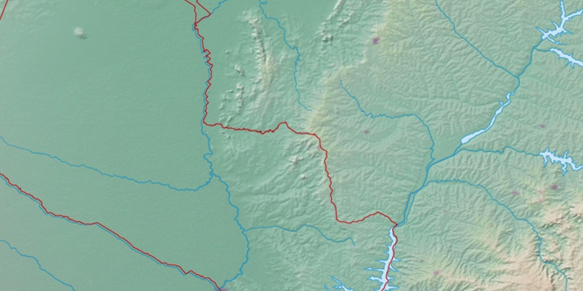
Marker is showing location of Ilha dos Bandeirantes on map(s). You can click on marker if you want to hide it.
 T: 0.01364 s.
2026 © Location.zone | Terms of use | Contact
 91°
91° 54°
54° 36°
36° 69°
69° 116°
116° 343°
343° 13°
13° 32°
32° 290°
290°