Ilha dos Botes, (island) is located in Maranhão, in Brazil (America). It is placed in GMT-3 time zone with current time of 01:21 PM, Thursday. Offset from your time zone: minutes.
| Latitude | 

|
|
| decimal | -7.26667 | |
| DMS | 7° 16' 0.012" S | |
| Distances from | ||
| North pole | 10815 km | |
| Equator | 808 km | |
| South pole | 9199.1 km | |
| Longitude | 
|
|
| decimal | -47.53333 | |
| DMS | 47° 31' 59.988" W | |
| Distance from prime meridian: 5240.2 km to West |
||
List of nearest places sort by population
Imperatriz 193.6 km 1°
1° 276°
276° 100°
100° 140°
140° 134°
134° 8°
8° 310°95°
 76°
76° 17°
17°

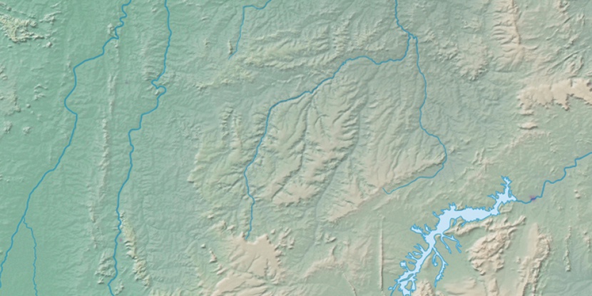
Marker is showing location of Ilha dos Botes on map(s). You can click on marker if you want to hide it.
 T: 0.01389 s.
2026 © Location.zone | Terms of use | Contact
 176°
176° 165°
165° 122°
122° 68°
68° 164°
164° 185°
185° 288°
288° 93°
93° 350°
350° 219°
219° 35°
35° 48°
48° 259°
259°