Ilha Jacinto, (island) is located in Mato Grosso, in Brazil (America). It is placed in GMT-4 time zone with current time of 07:43 AM, Thursday. Offset from your time zone: minutes.
| Latitude | 

|
|
| decimal | -9.7 | |
| DMS | 9° 42' 0" S | |
| Distances from | ||
| North pole | 11085.6 km | |
| Equator | 1078.5 km | |
| South pole | 8928.5 km | |
| Longitude | 
|
|
| decimal | -55.88333 | |
| DMS | 55° 52' 59.988" W | |
| Distance from prime meridian: 6117.2 km to West |
||
List of nearest places sort by population
Sinop 244.2 km 170°
170° 233°
233° 276°
276° 51°
51° 186°
186° 184°185°190°191°
 331°
331°

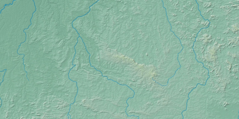
Marker is showing location of Ilha Jacinto on map(s). You can click on marker if you want to hide it.
 T: 0.01331 s.
2026 © Location.zone | Terms of use | Contact
 147°
147° 137°
137° 100°
100° 70°
70° 131°
131° 158°
158° 85°
85° 41°
41° 209°
209° 260°
260° 286°
286°