Ilha Jacitara, (island) is located in Amapá, in Brazil (America). It is placed in GMT-3 time zone with current time of 12:13 PM, Thursday. Offset from your time zone: minutes.
| Latitude | 

|
|
| decimal | 1.11667 | |
| DMS | 1° 7' 0.012" N | |
| Distances from | ||
| North pole | 9882.9 km | |
| Equator | 124.2 km | |
| South pole | 10131.2 km | |
| Longitude | 
|
|
| decimal | -50.46667 | |
| DMS | 50° 28' 0.012" W | |
| Distance from prime meridian: 5610.2 km to West |
||
List of nearest places sort by population
Macapá 137.1 km 209°211°
 180°
180° 130°133°
 162°
162° 154°176°213°
 204°
204°

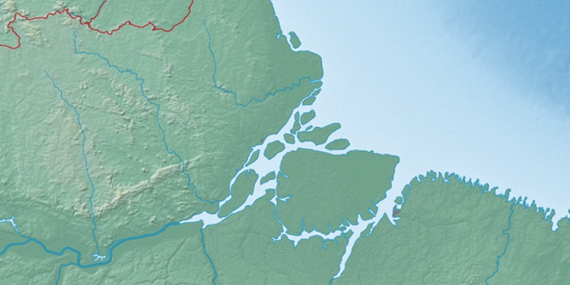
Marker is showing location of Ilha Jacitara on map(s). You can click on marker if you want to hide it.
 T: 0.01344 s.
2026 © Location.zone | Terms of use | Contact
 171°
171° 139°
139° 112°
112° 246°
246° 120°
120° 40°
40° 46°
46° 256°
256° 282°
282°