Ilha Maracaçumé, (island) is located in Maranhão, in Brazil (America). It is placed in GMT-3 time zone with current time of 06:34 AM, Thursday. Offset from your time zone: minutes.
| Latitude | 

|
|
| decimal | -1.21667 | |
| DMS | 1° 13' 0.012" S | |
| Distances from | ||
| North pole | 10142.3 km | |
| Equator | 135.3 km | |
| South pole | 9871.8 km | |
| Longitude | 
|
|
| decimal | -45.55 | |
| DMS | 45° 33' 0" W | |
| Distance from prime meridian: 5063.5 km to West |
||
List of nearest places sort by population
Bragança 136.3 km 277°
277° 160°
160° 131°
131° 271°280°
 166°
166° 206°272°158°
 215°
215°

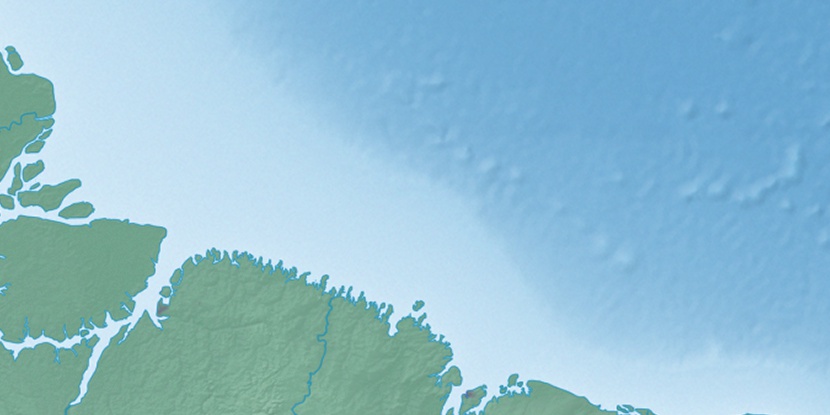
Marker is showing location of Ilha Maracaçumé on map(s). You can click on marker if you want to hide it.
 T: 0.01353 s.
2026 © Location.zone | Terms of use | Contact
 182°
182° 149°
149° 109°
109° 189°
189° 262°
262° 122°
122° 36°
36° 50°
50°