Ilha Murituba, (island) is located in Pará, in Brazil (America). It is placed in GMT-3 time zone with current time of 09:24 PM, Thursday. Offset from your time zone: minutes.
| Latitude | 

|
|
| decimal | -1.9 | |
| DMS | 1° 54' 0" S | |
| Distances from | ||
| North pole | 10218.3 km | |
| Equator | 211.3 km | |
| South pole | 9795.8 km | |
| Longitude | 
|
|
| decimal | -50.41667 | |
| DMS | 50° 25' 0.012" W | |
| Distance from prime meridian: 5602.5 km to West |
||
List of nearest places sort by population
Breves 25.2 km 343°
343° 110°
110° 92°
92° 264°
264° 126°
126° 140°
140° 100°
100° 72°
72° 292°89°

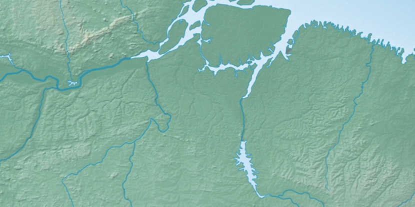
Marker is showing location of Ilha Murituba on map(s). You can click on marker if you want to hide it.
 T: 0.01345 s.
2026 © Location.zone | Terms of use | Contact
 170°
170° 161°
161° 177°
177° 76°
76° 211°
211° 38°
38° 51°
51° 283°
283°