Ilha Sá e Faria, (island) is located in São Paulo, in Brazil (America). It is placed in GMT-4 time zone with current time of 05:35 AM, Thursday. Offset from your time zone: minutes.
| Latitude | 

|
|
| decimal | -21.71667 | |
| DMS | 21° 43' 0.012" S | |
| Distances from | ||
| North pole | 12421.7 km | |
| Equator | 2414.7 km | |
| South pole | 7592.4 km | |
| Longitude | 
|
|
| decimal | -52.08333 | |
| DMS | 52° 4' 59.988" W | |
| Distance from prime meridian: 5352.8 km to West |
||
List of nearest places sort by population
Presidente Prudente 84.8 km 122°
122° 212°
212° 125°122°
 105°
105° 29°
29° 71°120°
 54°
54° 164°
164°

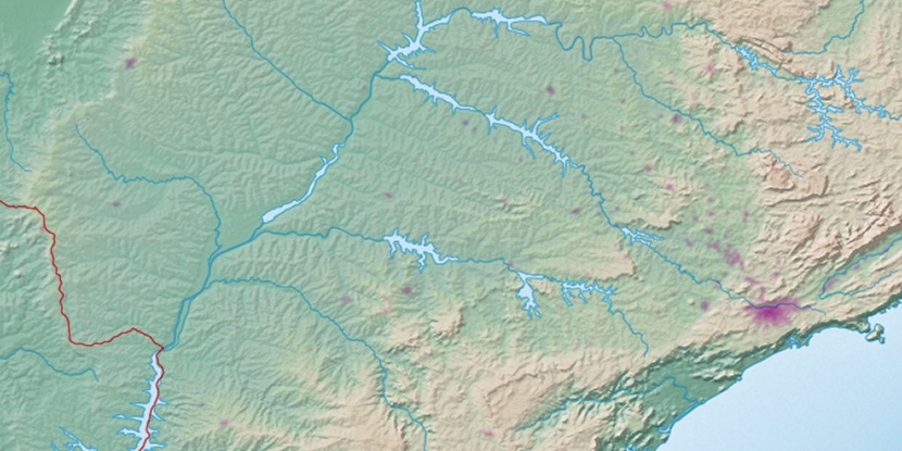
Marker is showing location of Ilha Sá e Faria on map(s). You can click on marker if you want to hide it.
 T: 0.01374 s.
2026 © Location.zone | Terms of use | Contact
 98°
98° 55°
55° 36°
36° 76°
76° 145°
145° 337°
337° 9°
9° 234°
234° 264°
264° 289°
289°