Ilha Samaúma, (island) is located in Pará, in Brazil (America). It is placed in GMT-3 time zone with current time of 11:30 PM, Thursday. Offset from your time zone: minutes.
| Latitude | 

|
|
| decimal | -4.1 | |
| DMS | 4° 6' 0" S | |
| Distances from | ||
| North pole | 10462.9 km | |
| Equator | 455.9 km | |
| South pole | 9551.2 km | |
| Longitude | 
|
|
| decimal | -49.65 | |
| DMS | 49° 39' 0" W | |
| Distance from prime meridian: 5505.5 km to West |
||
List of nearest places sort by population
Marabá 153.6 km 158°
158° 355°
355° 4°
4° 41°
41° 17°162°
 5°359°
 354°6°

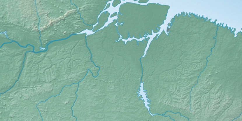
Marker is showing location of Ilha Samaúma on map(s). You can click on marker if you want to hide it.
 T: 0.01421 s.
2026 © Location.zone | Terms of use | Contact
 171°
171° 128°
128° 88°
88° 179°
179° 275°
275° 105°
105° 213°
213° 50°
50° 258°
258°