Ilha Santa Maria, (island) is located in Tocantins, in Brazil (America). It is placed in GMT-3 time zone with current time of 09:26 AM, Friday. Offset from your time zone: minutes.
| Latitude | 

|
|
| decimal | -9.83333 | |
| DMS | 9° 49' 59.988" S | |
| Distances from | ||
| North pole | 11100.4 km | |
| Equator | 1093.4 km | |
| South pole | 8913.7 km | |
| Longitude | 
|
|
| decimal | -50.21667 | |
| DMS | 50° 13' 0.012" W | |
| Distance from prime meridian: 5496 km to West |
||
List of nearest places sort by population
Palmas 210.2 km 100°
100° 36°
36° 149°
149° 163°
163° 30°
30° 53°
53° 179°
179° 331°47°157°

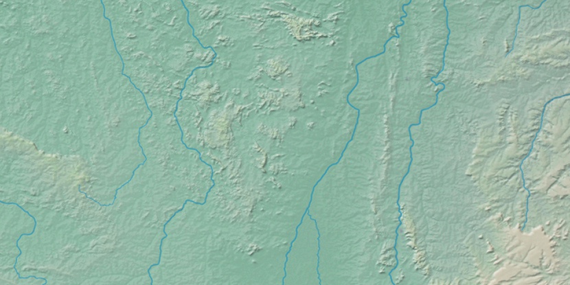
Marker is showing location of Ilha Santa Maria on map(s). You can click on marker if you want to hide it.
 T: 0.0137 s.
2026 © Location.zone | Terms of use | Contact
 165°
165° 105°
105° 62°
62° 304°
304° 83°
83° 11°
11° 218°
218° 260°
260° 285°
285°