Ilha Santana, (island) is located in Amapá, in Brazil (America). It is placed in GMT-3 time zone with current time of 06:35 AM, Thursday. Offset from your time zone: minutes.
| Latitude | 

|
|
| decimal | -0.06667 | |
| DMS | 0° 4' 0.012" S | |
| Distances from | ||
| North pole | 10014.5 km | |
| Equator | 7.4 km | |
| South pole | 9999.6 km | |
| Longitude | 
|
|
| decimal | -51.16667 | |
| DMS | 51° 10' 0.012" W | |
| Distance from prime meridian: 5689.2 km to West |
||
List of nearest places sort by population
Macapá 16.2 km 43°
43° 299°
299° 156°
156° 169°
169° 224°
224° 95°
95° 212°96°
 248°
248° 199°
199°

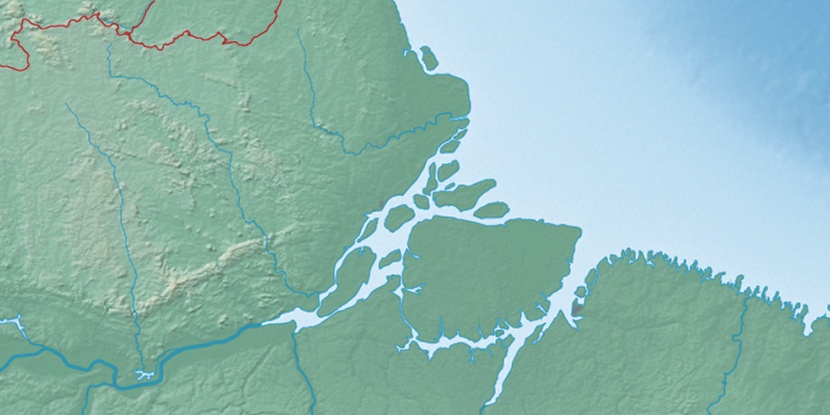
Marker is showing location of Ilha Santana on map(s). You can click on marker if you want to hide it.
 T: 0.01346 s.
2026 © Location.zone | Terms of use | Contact
 135°
135° 106°
106° 175°
175° 116°
116° 46°
46° 257°
257° 282°
282°