Ilha Santana, (island) is located in Rondônia, in Brazil (America). It is placed in GMT-4 time zone with current time of 09:35 AM, Thursday. Offset from your time zone: minutes.
| Latitude | 

|
|
| decimal | -9.16667 | |
| DMS | 9° 10' 0.012" S | |
| Distances from | ||
| North pole | 11026.3 km | |
| Equator | 1019.2 km | |
| South pole | 8987.8 km | |
| Longitude | 
|
|
| decimal | -64.5 | |
| DMS | 64° 30' 0" W | |
| Distance from prime meridian: 7069.3 km to West |
||
List of nearest places sort by population
Porto Velho 79.4 km 55°
55° 117°
117° 207°
207° 41°122°
 125°
125° 278°
278° 246°
246° 300°
300° 2°
2°

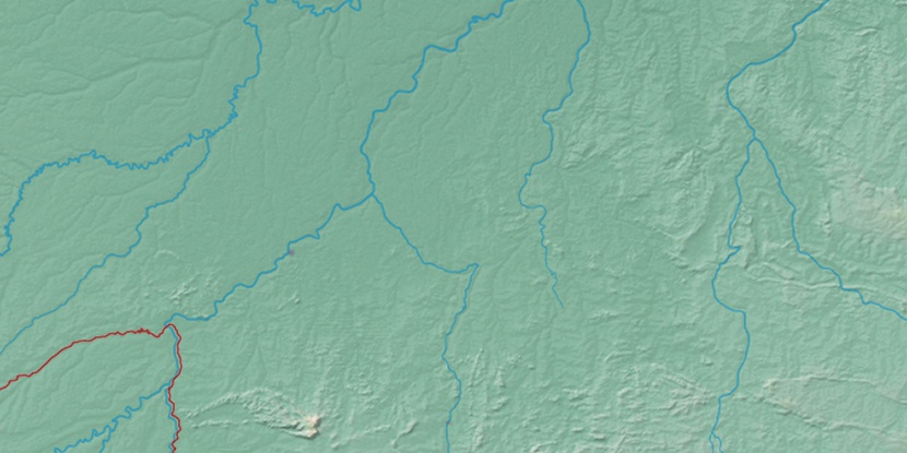
Marker is showing location of Ilha Santana on map(s). You can click on marker if you want to hide it.
 T: 0.01332 s.
2026 © Location.zone | Terms of use | Contact
 98°
98° 78°
78° 112°
112° 138°
138° 87°
87° 193°
193° 47°
47° 259°
259° 286°
286°