Ilha Santo Antônio, (island) is located in Pará, in Brazil (America). It is placed in GMT-3 time zone with current time of 02:05 AM, Friday. Offset from your time zone: minutes.
| Latitude | 

|
|
| decimal | -5.08333 | |
| DMS | 5° 4' 59.988" S | |
| Distances from | ||
| North pole | 10572.3 km | |
| Equator | 565.2 km | |
| South pole | 9441.8 km | |
| Longitude | 
|
|
| decimal | -49.33333 | |
| DMS | 49° 19' 59.988" W | |
| Distance from prime meridian: 5462.3 km to West |
||
List of nearest places sort by population
Imperatriz 209.8 km 103°
103° 146°152°
 345°
345° 172°
172° 356°
356° 123°149°351°
 108°
108°

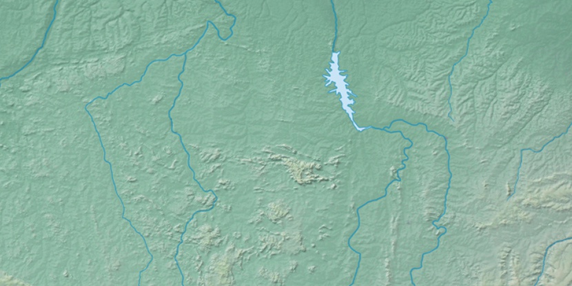
Marker is showing location of Ilha Santo Antônio on map(s). You can click on marker if you want to hide it.
 T: 0.01357 s.
2026 © Location.zone | Terms of use | Contact
 161°
161° 126°
126° 82°
82° 179°
179° 280°
280° 12°
12° 214°
214° 36°
36° 50°
50° 259°
259°