Ilha Tonu, (island) is located in Amazonas, in Brazil (America). It is placed in GMT-4 time zone with current time of 12:58 AM, Friday. Offset from your time zone: minutes.
| Latitude | 

|
|
| decimal | 1.41667 | |
| DMS | 1° 25' 0.012" N | |
| Distances from | ||
| North pole | 9849.5 km | |
| Equator | 157.5 km | |
| South pole | 10164.6 km | |
| Longitude | 
|
|
| decimal | -67.2 | |
| DMS | 67° 12' 0" W | |
| Distance from prime meridian: 7469.4 km to West |
||
List of nearest places sort by population
Fonte Boa 454.1 km 164°
164° 175°
175° 199°
199° 189°
189° 119°
119° 152°187°150°
 130°154°

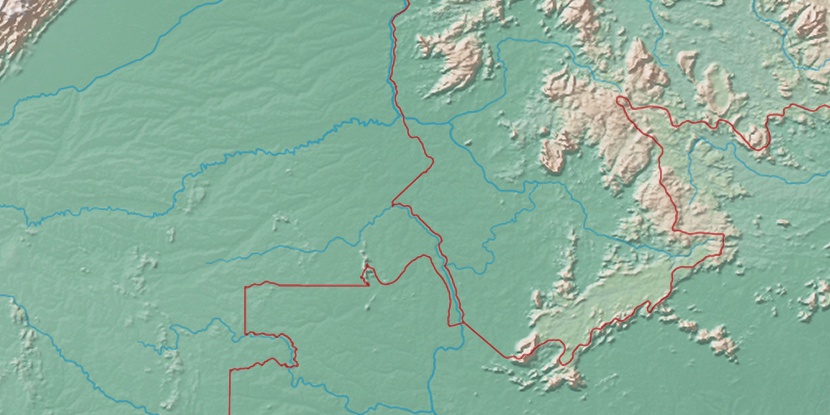
Marker is showing location of Ilha Tonu on map(s). You can click on marker if you want to hide it.
 T: 0.01325 s.
2026 © Location.zone | Terms of use | Contact
 141°
141° 100°
100° 106°
106° 48°
48° 57°
57° 255°
255° 283°
283°